ECKERSALL | Who We Are
GIS consultants company providing quality, cost-effective solutions for
government, utility, environmental, and facility management clients
We provide the high-quality and cost-effective geospatial solutions thousands rely on each day to make mission-critical decisions.
Established in 2006
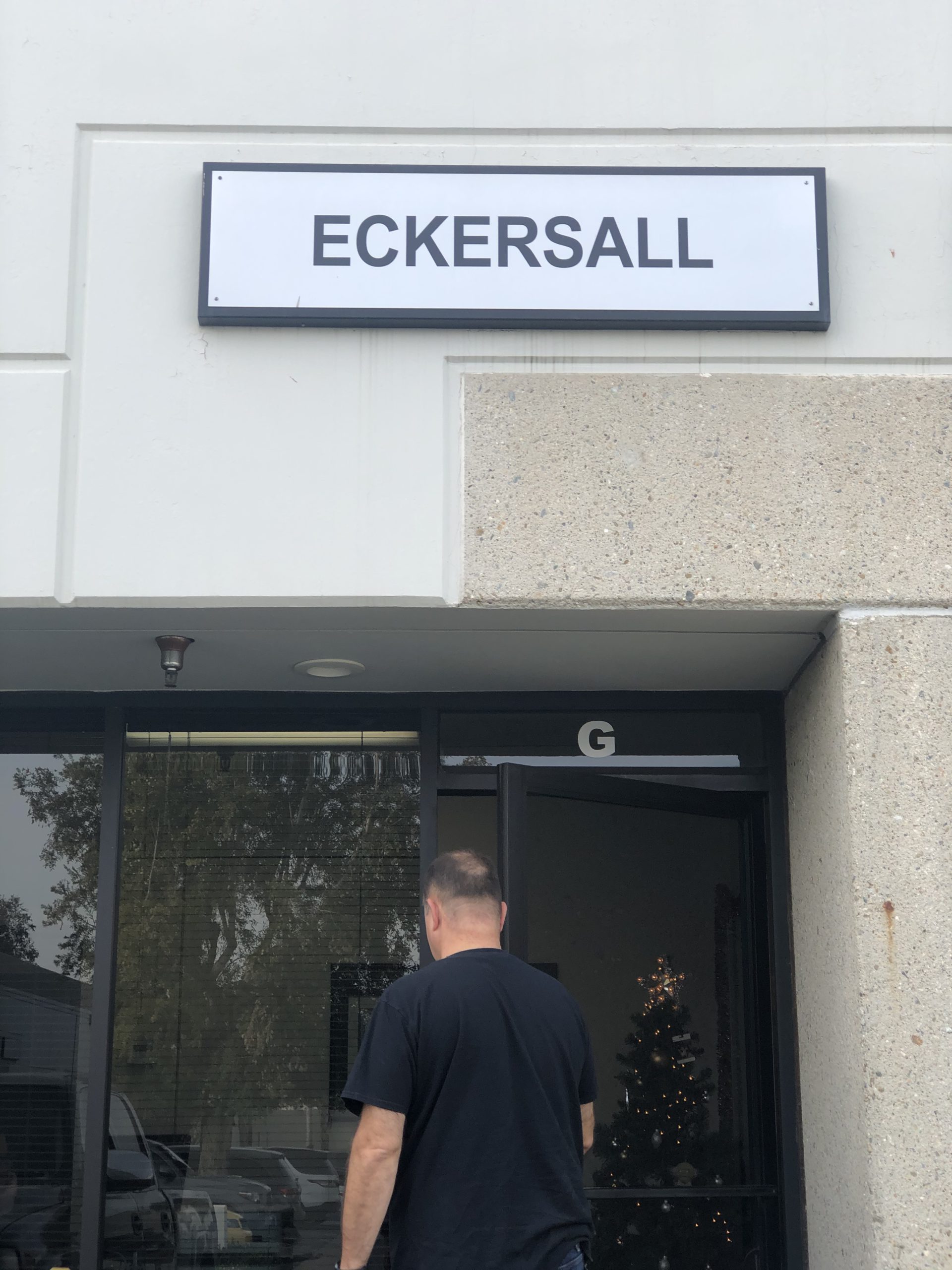
ECKERSALL is a Geographic Information Systems (GIS) consulting firm in Chino, CA. We are a Bronze Partner in the Esri Partner Network. Our founder, Scott Eckersall has been working with ESRI and other GIS technology since 1995. We’re fortunate to have a small but growing team of talented GIS professionals with a shared vision to provide outstanding and cost-effective GIS solutions to a growing list of happy clients. We primarily work with municipal, utility, environmental, and commercial clients.
We specialize in Enterprise and Mobile GIS system design, database design, data conversion, software development, implementation, tuning, maintenance, training, and integration with other systems. . The team has a keen understanding of commercial and open-source geospatial technologies. We offer our clients unbiased solutions that best meet their mission-critical needs without promoting any single approach or technology. We routinely connect GIS systems to many other databases and solutions and automate (and document) processes to keep it all running consistently and reliably. We team with our clients to simplify procedures and always strive to provide ample knowledge transfer so they can take it all over when we wrap up.
We’ve traditionally teamed with larger consulting firms but we’re increasingly consulting with clients directly. This provides more direct communication and ultimately a better outcome. We have limited sales, marketing, support, or executive staff, which translates to limited overhead. We’re available remotely or on-site.
Each of us has made a career of designing, implementing and supporting real-world Enterprise GIS. We have a consistent track record of delivering results and building long-term working relationships with our clients. Members of our team introduced in the project team section will be the actual staff carrying out all work, and each team member will be hands-on with every project.
Eckersall has one office located in Chino, CA with a team of five employees. Our normal working hours are Monday through Friday, 7am-5pm (Pacific Time).
Meet The Team

Scott Eckersall, GISP – Senior GIS Programmer/Analyst
Founder, President
Mr. Eckersall has 30 years’ geospatial software development and consulting experience and a BS in Civil Engineering. He leverages this Engineering background to implement GIS technology in the Engineering, Public Works, Utility, Transportation, and Facility Maintenance realms. He provides robust design, installation, implementation, customization, and maintenance of on-prem ArcGIS Enterprise and VertiGIS Studio solutions. Scott has a deep and holistic knowledge of the required hardware, operating systems, databases, networking, security, software, and client devices necessary for an effective GIS. In addition, he has extensive experience with AutoCAD, ArcGIS Pro, ArcGIS Online, Geocortex Essentials, and VertiGIS Studio. He is passionate about establishing repeatable and well-documented workflows and automating as much as practicable to ensure all systems are well-maintained with current data. He is the resident GIS expert for the Cities of Bellflower, Claremont, Costa Mesa, Manteca, San Clemente, Sierra Madre and Tustin. He also consults with municipalities, water utilities and software firms throughout the U.S. He has been working with Geocortex for 20 years, including development of complex solutions using Web, Printing, Reporting, and Workflows.
skills
Enterprise GIS – ArcGIS Server Deployment – Geocortex Essentials – ArcGIS Portal / Online – Agile Software Development – Amazon AWS – ESRI and open source platforms – Documentation / Training – SQL Server / Postgres Databases – Advanced Python / SQL scripting
Victoria Rama brings a strong background in geospatial analysis , graphic design, video production, and holds an FAA Part 107 Drone Certification. Her expertise includes advanced cartography , drone integration with GIS, and aerial photography for geospatial data collection . Victoria has contributed significantly to the development of innovative GIS solutions for our municipal clients, including professional map production and intuitive ArcGIS Online Experience Builder and Story Map sites.
skills
ArcGIS – Map Production – Drone technology – Video Editing/Production – Software testing
– GIS Data Quality Control

Victoria Rama
GIS Analyst

Scott Wilson
Senior GIS Analyst
Scott Wilson is a highly experienced GIS professional with extensive expertise in GIS system design, data management, automation, and remote sensing. Scott has worked for government, renewable energy, and private firms, delivering tailored GIS solutions to improve data accessibility and operational efficiency. His work in data analytics and large scale GIS systems that support community planning and resource management. Scott has in-depth experience with all Esri technology including Desktop, Enterprise, and ArcGIS Online, along with VertiGIS (formerly Geocortex)
skills
ArcGIS – VertiGIS – Lidar – Multispectral Imagery
– Python – Advanced Geospatial Analysis
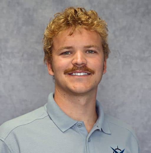
Logan has over four years of experience in GIS and continues to expand his expertise here at Eckersall. In 2025 he earned a B.S. in Earth and Soil Sciences with a minor in GIS from Cal Poly San Luis Obispo, where he gained hands-on experience with both open-source and ESRI software. During a 10-week internship with the City of Irvine’s GIS and IT team, he applied his skills to real-world projects and strengthened his professional communication. At Eckersall, Logan focuses on GIS mapping, data entry, database updates, data management, and quality control.
skills
ArcGIS – Map Production – Software testing
– GIS Data Quality Control
Logan Hale
GIS Analyst


